
 Asset Publisher
Nadzór nad lasami niepaństwowymi
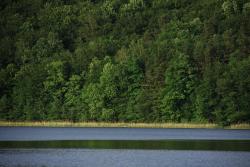
 Nadzór nad lasami niepaństwowymi, fot. Paweł Pochocki
 Nadzór nad lasami niepaństwowymi, fot. Paweł Pochocki
Nadleśnictwo Świebodzin sprawuje również nadzór nad lasami niepaństwowymi w ramach porozumienia pomiędzy Nadleśniczym a Starostą Świebodzińskim, ogólna powierzchnia tych lasów wynosi 242,17 ha.

Dla 236,90 ha lasów, pozostających Nadleśnictwa, sporządzono inwentaryzację stanu lasu.
Asset Publisher


Asset Publisher
FORESTS OF THE FOREST DISTRICT
FORESTS OF THE FOREST DISTRICT
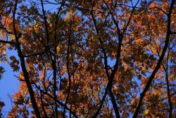
 Lasy Nadleśnictwa, fot. Paweł Pochocki
 Lasy Nadleśnictwa, fot. Paweł Pochocki
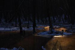
 Lasy Nadleśnictwa, fot. Mariusz Grondys
The area of the Forest District is diversified naturally. There is very rich local animal and plant world.
In the relief of the Forest District Świebodzin, there is very clear difference between the Łagowskie Lake District and the Torzymska Plain. The Łagowskie Lake District has generally got hilly and rolling landscape, with highlands in places (the Łagów Landscape Park); its true height reaches to 200 meters over the sea level (Bukowiec 225 meters). Within the area of Torzymska Plain, there predominate the lowland sandurs and the rolling lands, and their true height varies from 40 to 100 meters over the sea level.
The territorial range of the Forest District is mainly under the influence of polar and maritime climate, characterised with the humid air. During the winter time, there occur often thaws and rainfalls, the summer is cold with many clouds and often rainfalls. The winds usually blow from the west or from the southern west. However, lately, there often happen weather anomalies, namely: in winter, there are days with temperature over 10 Celsius Degrees; winters are snowless, and there sometimes occur storms. During the vegetation time, there happen long lasting droughts (May / June, July / August); Within the whole year, we can observe hurricanes.
The area of the Forest District geologically is located within the range of the North – Polish Glaciation, in the main stadial, in the Leszczyńska phase, partly also in the Poznańska and Pomorska phases. Most of the geological formations come from the Quaternary (Neogen). These are both: created in the Pleistocene glacial and sandour sands, sands and gravel of end moraines, glacial till, as well as originating from the Holocen period formations connected with mosses, rots, river sands, and fields of eolian sands covering the older formations. Ocassionally, within described area, there also occur formations from the Teritary period (Paleogen): sands, loams and brown coals, located nearby Sieniawa.
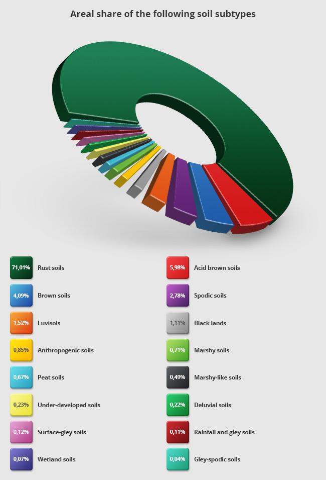
Within the area of the Forest District Świebodzin, there predominate rusty soils (71,01 %) and acid brown soils(15,98 %). The other soils cover lee than 5 % of the overall area of the Forest District.
The range of the Forest District is located in the River Odra basin, in the watershed of Warta and Odra Rivers. The water network in forests is dense and complicated. The directions of downflows run into different sides. Because of diversified relief, in many places we can meet the closed drainage areas situated on the clay or silt ground. The biggest lakes within the range , in the Warta River watershed are: Paklicko Wielkie Lake, Goszcza Lake, Lubie Lake and the River Paklica. In the River Odra watershed, ther are: Niesłysz Lake, Trześniowskie (Ciecz) Lake, Łagowskie Lake, Niedźwiedno Lake, and the River Pliszka, Channel Ołobok, Łagowa.